GIS Applications for Water, Wastewater, and Stormwater Systems - Chapter 7 docx
GIS Applications for Water, Wastewater, and Stormwater Systems - Chapter 7 docx
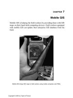
... computing with wired and wireless communications, GIS, GPS, and remote sensing technologies (Karimi and Hammad, 2004). GIS lies at the heart of most mobile information resource systems. For example, ... pen and touch-screen computers; handheld devices and PDAs; and smart phones (a combination of a PDA and a cell phone). Due to their small screen; limited memory, storage, p...
Ngày tải lên: 11/08/2014, 13:22
GIS Applications for Water, Wastewater, and Stormwater Systems - Chapter 3 docx
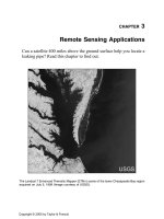
... imagery and GIS as a land inventory tool allowed SANDAG to see the region in a new way and permitted rapid change detec- tion. The GIS- based LULC-mapping approach provided SANDAG with current and verified ... numerous applications in the water industry. Space-based satellite imagery in GIS- ready format can be used as cost-effective base maps for mapping water industry systems....
Ngày tải lên: 11/08/2014, 13:22
GIS Applications for Water, Wastewater, and Stormwater Systems - Chapter 4 docx
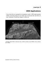
... are available in 7. 5-min, 15-min, 2-arc-sec (also known as 30-min), and 1˚ units. The 7. 5- and 15-min DEMs are included in the large-scale category, whereas 2-arc-sec DEMs fall within the intermediate-scale ... standard USGS 7. 5-min map series. Each 7. 5-min DEM is based on 30-m by 30-m data spacing; therefore, the raster grid for the 7. 5-min USGS quads are 30 m by 30 m. Tha...
Ngày tải lên: 11/08/2014, 13:22
GIS Applications for Water, Wastewater, and Stormwater Systems - Chapter 9 docx
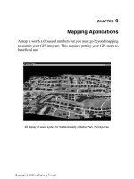
... starting point for developing GIS applications: no maps, no applications. In this chapter we learned about some basic applications of GIS maps. Advanced applications will be presented in subsequent chapters. ... wastewater systems • Mapping application examples for stormwater systems LIST OF CHAPTER ACRONYMS 2-DTwo Two-Dimensional 3-DThree Three-Dimensional...
Ngày tải lên: 11/08/2014, 13:22
GIS Applications for Water, Wastewater, and Stormwater Systems - Chapter 1 potx
... this chapter is to understand the importance and scope of geographic information system (GIS) applications for water, wastewater, and storm- water systems. MAJOR TOPICS • Definition of GIS applications • ... History of GIS applications • Advantages and disadvantages of GIS applications • Evolving and future GIS applications and trends • Methods of deve...
Ngày tải lên: 11/08/2014, 13:22

GIS Applications for Water, Wastewater, and Stormwater Systems - Chapter 5 pptx
... into 2D and 3D environ- ments. In July 2001, ERDAS’s geographic-imaging software company was acquired by Leica Geosystems to form a new GIS and Mapping Division for growth in the GIS and remote ... location, model, and color of the vehicle. The GPS applications for the water, wastewater, and stormwater systems, though not as dramatic as TeleAid, are revolutionizing...
Ngày tải lên: 11/08/2014, 13:22
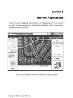
GIS Applications for Water, Wastewater, and Stormwater Systems - Chapter 6 ppt
... SITES CHAPTER SUMMARY This chapter provided information on the GIS applications for serving water, wastewater, and stormwater system maps on the Internet. The Internet is the fastest growing and ... CHAPTER 6 Internet Applications Internet-based mapping applications are changing the way people use and manage geographic information for their water, wastewa...
Ngày tải lên: 11/08/2014, 13:22
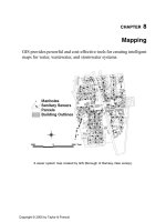
GIS Applications for Water, Wastewater, and Stormwater Systems - Chapter 8 ppsx
... CHAPTER 8 Mapping GIS provides powerful and cost-effective tools for creating intelligent maps for water, wastewater, and stormwater systems. A sewer system map created by GIS (Borough ... conversion applications like the water editing tool increase the speed, efficiency, and accuracy of data conversion for water, wastewater, and stormwater systems...
Ngày tải lên: 11/08/2014, 13:22
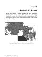
GIS Applications for Water, Wastewater, and Stormwater Systems - Chapter 10 pps
... ourselves with GIS applications in monitoring data for effective operation and management of water, wastewater, and stormwater systems. MAJOR TOPICS • Rainfall monitoring • Satellite and radar ... sewage collection systems and watersheds. This chapter will present the methods and exam- ples of how to use GIS for installing and maintaining the monitors, a...
Ngày tải lên: 11/08/2014, 13:22
GIS Applications for Water, Wastewater, and Stormwater Systems - Chapter 11 ppsx
... Figure 11 .7 shows an ArcView 3.x screenshot for subbasin and land-use layers for a SWMM-based sewer system model. The land-use layer was prepared from classification of 30-m-reso- lution Landsat ... modeling methods for water, wastewater, and stormwater systems. GIS applications provide an accurate and manageable way of estimating model input parameters such as node de...
Ngày tải lên: 11/08/2014, 13:22